A Boston nor’easter weekend is taking shape as a slow-moving coastal storm that forecasters say will bring soaking rain, strong northeast winds, and minor coastal flooding from Friday night through Sunday—overlapping with already-planned MBTA disruptions.
WBUR, GBH News, and local forecast summaries on Wednesday described a long-duration system rather than a quick hit-and-run shower event. An upper-level low stacking over the surface storm is expected to keep the setup parked near southern New England, with the heaviest impacts Saturday and lingering damp conditions Sunday before improvement Monday.
Timeline and rainfall outlook
Friday may stay mostly dry for much of southern New England, turning raw and breezy, with rain chances rising on the Cape and into eastern Massachusetts by evening. Friday night into Saturday, rain is forecast to push inland across eastern and central Massachusetts, with Saturday as the storm’s peak. Sunday looks cloudy and damp as the low spins offshore; Monday brings a gradual exit.
Rain totals remain track-dependent. WBUR’s Wednesday analysis put eastern Massachusetts, the South Shore, and the Cape in a 2- to 4-inch range, with isolated higher amounts under heavier bands—enough for poor-drainage street flooding. Interior southern and central New England looked closer to 1 to 2 inches. A more northerly or southerly track could still shift the heaviest axis, which is why cities are planning for a multi-day event rather than a single overnight downpour.
Wind, tides, and coastal risk
Boston, MetroWest, and the North Shore could see gusts of 35–45 mph Saturday into Saturday night, with isolated power outages possible, according to WBUR. Cape Cod and the Islands may see peak gusts of 50–60 mph Saturday evening. Leaves still on the trees raise the chance of limb damage wherever winds climb above about 40 mph, GBH noted.
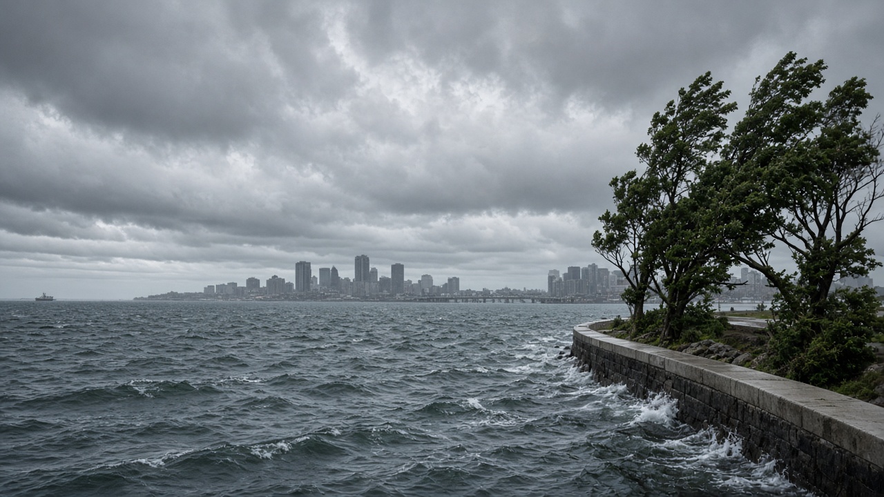
Marine hazards are more locked in than exact rainfall maps. Long-fetch northeast winds are expected to build large seas offshore and pounding surf on east-facing beaches. The storm coincides with the Full Harvest Moon on Saturday, elevating astronomical tides and extending the window for minor coastal flooding and beach erosion across multiple tide cycles from Friday night potentially through Sunday.
In Boston Harbor and along the waterfront, that combination matters for low-lying roads, park edges, and ferry operations even if inland rain totals are only moderate.
How Boston and South Shore towns are preparing
Boston Public Works said the Highway Division plans extra weekend staffing to support Boston Water and Sewer Commission and Parks and Recreation crews. Spokesperson Chris Coakley told GBH that Water and Sewer will monitor flooding and catch basins while Parks prepares for downed trees. Water and Sewer spokesperson Dolores Randolph said the commission is planning for a 72- to 96-hour event and will deploy additional staff for flooding issues even if totals are “not predicted to be overwhelming.”
South Shore communities are taking similar steps. Scituate Town Administrator Jim Boudreau told GBH he expects limb damage and outages with 40–50 mph winds and full canopies, and said DPW crews were already cleaning catch basins, checking limbs, and preparing tide gates and high-water vehicles.
MBTA Communications Director Joe Pesaturo said ferry service to and from Lynn and Quincy will likely be canceled for safety, with other ferry routes assessed day to day and announced publicly when decisions are made—an added wrinkle for waterfront commuting already facing Green Line shuttle substitutions starting Saturday.
Practical steps for Greater Boston residents
Residents should clear catch basins near driveways, secure patio furniture, check flashlights and any backup power, and rethink outdoor weekend plans. Temperatures in the upper 50s to around 60 with a biting northeast wind will make the weekend feel raw even between rain bands.
Drivers should allow extra time Saturday and Sunday, especially near flooded underpasses and wind-exposed bridges. Coastal walkers should stay well back from surf during high tide. The storm is not forecast as a historic catastrophe based on Wednesday guidance—but it is a classic early-season nor’easter package of water, wind, and inconvenience landing on a busy Boston weekend.